
The USDA Food Desert Locator Data is now on PolicyMap
It seems that proposal season is upon us – with several NOFAs open for the CDFI Fund and due in the next six weeks. It is a time when it really matters to have access to good relevant data. We need to understand our markets to put together top notch proposals.
These are times when we turn to PolicyMap for data that is critical for these proposals.
PolicyMap has all New Market Tax Credit (NMTC) eligible data. PolicyMap drives Novogradac’s NMTC tool but is also available at www.policymap.com if you want to use it alongside other data layers.

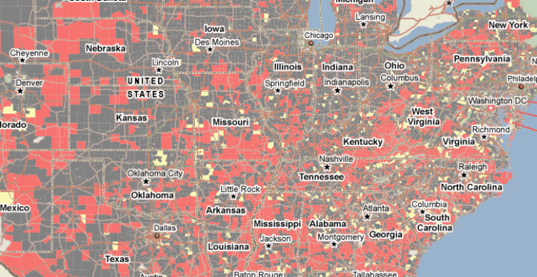
USDA’s Food Desert and Food Atlas data are key components of CDFI Fund’s HFFI questionnaire. Much of this data is also now available in the Federal Guidelines tab on PolicyMap. Where does USDA consider a food desert? How does that compare to where you have an active lending program?
TRF’s own food access analysis is also on PolicyMap and serves as a way to understand potential market viability in areas with limited access to food retail.

2010 US Census data complements these data sources as we work to have a current sense of trends in these markets.
The greatest power of PolicyMap is in overlaying multiple layers of data and adding your own points to the maps. Follow up at wwww.policymap.com for a demo to get introduced to the data and how to work with it yourself.
Now back to work on those proposals.
![]()