New USDA Food Access data now on PolicyMap

Who needs a supermarket, but doesn’t have one?
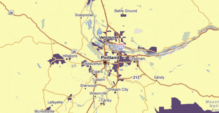
The US Department of Agriculture’s Economic Research Service has recently released new data at its Food Access Research Atlas. It contains the results of a newly-updated study based on 2010 data on areas where people have low access to grocery stores and supermarkets. The last USDA study, conducted with 2006 data, identified these areas as “Food Deserts” (a term no longer being used officially).
The study calculates an estimate of the number of people in each Census tract who live farther than a specified distance from the nearest store. In the 2006 study, this distance was 1 mile in urban areas, and 10 miles in rural areas. This latest data has a few different distance calculations. It has 1 mile (urban) and 10 miles (rural), 0.5 miles (urban) and 10 miles (rural), and 1 mile (urban) and 20 miles (rural). A tract is considered to be “Low Access” if at least 500 people or 33 percent of the population lives the designated distance from a store.
Each of these distance calculations is available on PolicyMap. The data is in the “Federal Guidelines” tab, underneath “USDA ERS Food Access”.
Areas that are designated Low Access and Low Income can qualify for Healthy Foods Financing Initiative (HFFI) programs. Additionally, in the past, New Markets Tax Credit (NMTC) applications have included USDA/ERS Food Deserts as secondary criteria for severe distress eligibility. It remains to be seen if the 2013 application will include this latest study.
PolicyMap also has data from a Food Access study done by The Reinvestment Fund (PolicyMap is a service of TRF). Data from this study can be found in the “TRF Analytics” tab on PolicyMap. These areas can also be used when applying for HFFI funding, however, additional criteria must also be met (see HFFI site for more details).