
Visualize Access to Health Care: Hospital Referral Regions
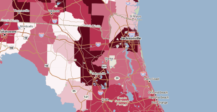
Much of PolicyMap’s health care data is mapped to states and counties. The use of health care, however, does not usually conform to these political boundaries. PolicyMap has added Hospital Referral Region and Hospital Service Areas to our mapping arsenal, so that users can paint a more accurate picture of health resources and care. These boundaries, developed by the Dartmouth Atlas of Health Care, were created using Medicare records. Hospital Service Areas are groups of zip codes from which local hospitals draw patients. Hospital Referral Regions, displayed with a black border on the map below, represent the areas where hospitals draw referrals for major procedures, such as cardiovascular surgery and neurosurgery.
Many Georgia residents travel to nearby Jacksonville and Tallahassee in Florida for medical care. The quality of care at the hospitals in these areas has an impact on health outcomes far beyond the counties where the hospitals are located. Add HRR and/or HSA boundaries to your map by clicking “map boundaries” on PolicyMap, and look for data mapped to these boundaries in the future.