
Revolutionary 3-D PolicyMap is here!
Disclaimer: We now support 3-D maps, and it’s a feature on PolicyMap. Look for the ‘3D’ icon next time you open the map – no glasses required.
April 1, 2014
While we are still working out the kinks to our 3-D technology and find a better way to distribute our 3-D glasses, we hope you take a look at our 3-Layer Maps feature, which allows you to overlay data.
We hope you enjoyed the 1st of April. Please contact our team for any suggestions or feedback you might have (pmap@policymap.com). Who knows, maybe you could spark the next technological revolution at PolicyMap.
As you’ve probably noticed, PolicyMap underwent a little facelift recently, making it easier and more intuitive to use. Now that the upgrade is released, we’ve been trying to come up with even better ways to give our users the best experience possible. So we took the next logical step.
The future of geospatial mapping technology is here, and it’s 3-D PolicyMap™.
We’ve always had the problem that we have over 15,000 indicators, but only one plane to view them on. By utilizing 3-D technology, we can better leverage the data we have to create maps that truly pop out at you.
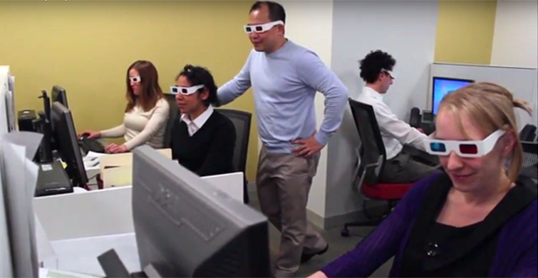
Download our trademarked 3-D glasses to see 3-D PolicyMap on your computer: 3-D Glasses
 See what our current users are saying about this great new feature!
“I can almost touch the data!” – Kavita Vijayan
“I’ve never seen demographic data like this before!” – Ira Goldstein
“Wow. So this is what you’ve been doing for the past five months.” – CEO Don Hinkle-Brown
But we’re not stopping here. Currently in beta is the new 4-D geo-aroma technology.
(Please note, 3-D PolicyMap works best with the Netscape Navigator v10 browser)