
The Latest Demographics, Income and More Now Available on PolicyMap

While a few of us at PolicyMap were enjoying the American Community Survey Data Users Conference this week in Washington DC, our developers at 3D-L were hard at work getting the ACS data updated on PolicyMap!
This year’s ACS conference highlighted some fascinating work with ACS data, from trends in marriage rates to the lifecycle of a piece of Census data. PolicyMap’s own Morgan Robinson discussed her process for developing neighborhood-level health indicators using multilevel modeling with ACS data on metropolitan area status, race, age, and income characteristics. You can find all this local health data in our Health menu.
This conference also provided valuable information about exciting developments on the horizon for the ACS (broadband access, anyone?!), as well as the critical need for the geographic visualization tools that we provide to our users.
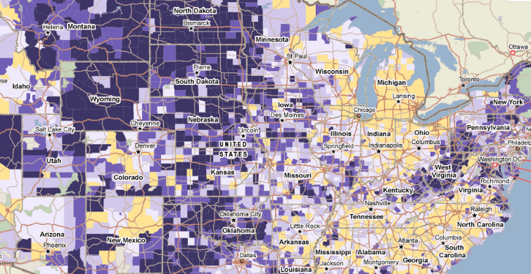
Meanwhile, thanks to the tireless work of our developers, the 2009-2013 ACS data is now available on PolicyMap for making maps, tables and running reports. Be on the lookout over the next weeks for upcoming posts on what this new data can tell us about socio-economics, health, housing, the economy and more.