
Crime Data on PolicyMap
We’ve recently updated our county and city-level crime data on PolicyMap to include 2011 data. You can access the data in the Neighborhood Conditions menu.
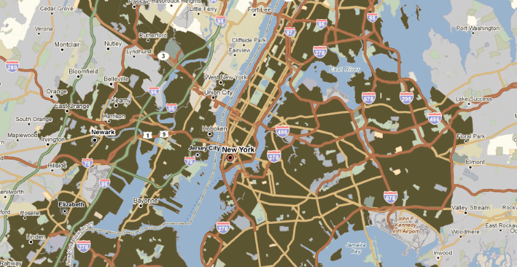
 When you go to the menu, you’ll see that county and city-level data is split into two sections. That’s because the city level provides more fine-grained data, often down to the police agency. The data which we get from the FBI arrives at the police force level, and we aggregate it to cities and counties using the US Department of Justice’s Law Enforcement Agency Identifier Crosswalk. In some cases, though, it’s impossible to do this to counties. New York City, for instance, is made up of five counties, but has only one primary policy department, the NYPD. Since the data isn’t broken out by county, just by police force, we can’t show crime data for any of the counties of New York City. However, if you look at the city-level data, then you can see New York.