
Unique Datasets only for the Data API
Besides the over 15,000 indicators of data on the PolicyMap program, do you know that we have even more data available only through our Data API? The PolicyMap Data API allows users to access our entire geodatabase and pull that data into their own programs.
The Data API is for users that are looking to use our geodatabase outside of PolicyMap. Users setup automated requests to our API asking for a list of data to any given geography. The Data API delivers the raw data for each requests, allowing our users to decide how that data is displayed or used on their own systems.
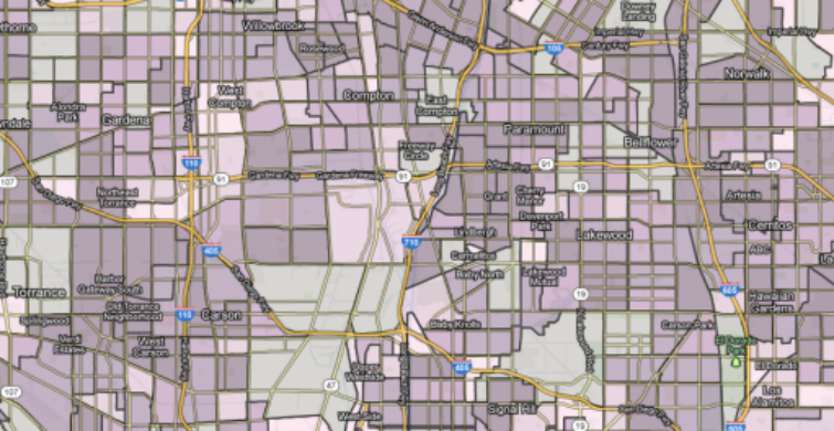
Users can then build unique reports from the data or display it next to specific locations adding content to their own programs. Users can also overlay data over Bing or Google maps (see example below).

There are also unique datasets that are only available through our Data API. Want to know the Water Quality or Air Quality in your area? Want to know if your home is in a flood zone? Or maybe you want to know if your home is in the flight path of planes landing and taking of from an airport. The Data API can deliver a variety of unique indicators. Visit our complete list of additional datasets here.
If you would like more information on PolicyMap’s Data API or have any questions on how PolicyMap can deliver data to you, please contact us at pmap@policymap.com or call us at (866) 923-MAPS.