
Trainings
Events
Calendar of Events
|
Sunday
|
Monday
|
Tuesday
|
Wednesday
|
Thursday
|
Friday
|
Saturday
|
|---|---|---|---|---|---|---|
|
0 events,
|
0 events,
|
0 events,
|
1 event,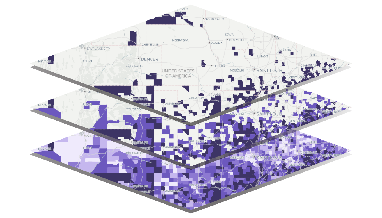
Featured
-
Featured
Learn how to upload a point (address) dataset to share or for internal study, set up filters, download data for use outside the PolicyMap tool, and use the Multi-Layer Maps tool to overlay up to 5 layers of data. |
1 event,
Featured
-
Featured
This overview will cover: basic user interface (searching for locations, loading datasets, saving & printing), unique custom functionality (creating custom boundaries, editing ranges, customizing colors, etc), and highlighting specific datasets. |
0 events,
|
0 events,
|
|
0 events,
|
0 events,
|
1 event,
Featured
-
Featured
This overview will cover: basic user interface (searching for locations, loading datasets, saving & printing), unique custom functionality (creating custom boundaries, editing ranges, customizing colors, etc), and highlighting specific datasets. |
1 event,
Featured
-
Featured
Learn how to upload a point (address) dataset to share or for internal study, set up filters, download data for use outside the PolicyMap tool, and use the Multi-Layer Maps tool to overlay up to 5 layers of data. |
0 events,
|
0 events,
|
0 events,
|
|
0 events,
|
0 events,
|
0 events,
|
1 event,
Featured
-
Featured
Learn how to upload a point (address) dataset to share or for internal study, set up filters, download data for use outside the PolicyMap tool, and use the Multi-Layer Maps tool to overlay up to 5 layers of data. |
1 event,
Featured
-
Featured
This overview will cover: basic user interface (searching for locations, loading datasets, saving & printing), unique custom functionality (creating custom boundaries, editing ranges, customizing colors, etc), and highlighting specific datasets. |
0 events,
|
0 events,
|
|
0 events,
|
0 events,
|
1 event,
Featured
-
Featured
This overview will cover: basic user interface (searching for locations, loading datasets, saving & printing), unique custom functionality (creating custom boundaries, editing ranges, customizing colors, etc), and highlighting specific datasets. |
1 event,
Featured
-
Featured
Learn how to upload a point (address) dataset to share or for internal study, set up filters, download data for use outside the PolicyMap tool, and use the Multi-Layer Maps tool to overlay up to 5 layers of data. |
0 events,
|
0 events,
|
0 events,
|
|
0 events,
|
0 events,
|
0 events,
|
1 event,
Featured
-
Featured
Learn how to upload a point (address) dataset to share or for internal study, set up filters, download data for use outside the PolicyMap tool, and use the Multi-Layer Maps tool to overlay up to 5 layers of data. |
0 events,
|
0 events,
|
0 events,
|
Learning the basics of PolicyMap
Learning the basics of PolicyMap
Learning the basics of PolicyMap