
Events
Calendar of Events
|
Sunday
|
Monday
|
Tuesday
|
Wednesday
|
Thursday
|
Friday
|
Saturday
|
|---|---|---|---|---|---|---|
|
0 events,
|
0 events,
|
0 events,
|
1 event,
-
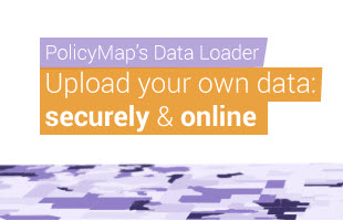
Learn how to quickly upload a point (address) dataset to share or for internal study, download data for states or the nation, and use the Multi-Layer Maps tool to overlay up to 5 layers of data. |
1 event,
-
This overview will cover: basic user interface (searching for locations, loading datasets, saving & printing), unique custom functionality (creating custom boundaries, editing ranges, customizing colors, etc), and highlighting specific datasets. |
0 events,
|
0 events,
|
|
0 events,
|
0 events,
|
2 events,
-
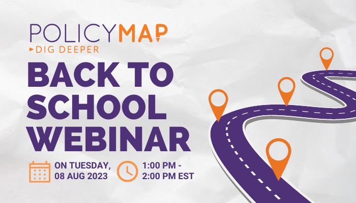
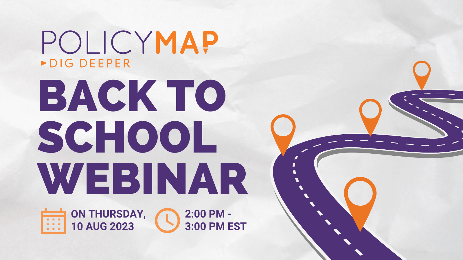
Register PolicyMap is an essential classroom resource. Learn how our mapping and analytics platform can support your curriculum in the upcoming academic year. We'll cover new and upcoming data and features, helpful support resources, and answer your questions! Hosted by: Phil Vu, Chief Customer Success Officer Betsy Minnich, Business Development Aaron Klein, Account Representative
-
This overview will cover: basic user interface (searching for locations, loading datasets, saving & printing), unique custom functionality (creating custom boundaries, editing ranges, customizing colors, etc), and highlighting specific datasets. |
0 events,
|
2 events,
-
Learn how to quickly upload a point (address) dataset to share or for internal study, download data for states or the nation, and use the Multi-Layer Maps tool to overlay up to 5 layers of data.
-
Register PolicyMap is an essential classroom resource. Learn how our mapping and analytics platform can support your curriculum in the upcoming academic year. We'll cover new and upcoming data and features, helpful support resources, and answer your questions! Hosted by: Phil Vu, Chief Customer Success Officer Betsy Minnich, Business Development Aaron Klein, Account Representative |
0 events,
|
0 events,
|
|
0 events,
|
0 events,
|
0 events,
|
1 event,
-
Learn how to quickly upload a point (address) dataset to share or for internal study, download data for states or the nation, and use the Multi-Layer Maps tool to overlay up to 5 layers of data. |
1 event,
-
This overview will cover: basic user interface (searching for locations, loading datasets, saving & printing), unique custom functionality (creating custom boundaries, editing ranges, customizing colors, etc), and highlighting specific datasets. |
0 events,
|
0 events,
|
|
0 events,
|
0 events,
|
1 event,
-
This overview will cover: basic user interface (searching for locations, loading datasets, saving & printing), unique custom functionality (creating custom boundaries, editing ranges, customizing colors, etc), and highlighting specific datasets. |
1 event,
-
Learn how to quickly upload a point (address) dataset to share or for internal study, download data for states or the nation, and use the Multi-Layer Maps tool to overlay up to 5 layers of data. |
0 events,
|
0 events,
|
0 events,
|
|
0 events,
|
0 events,
|
0 events,
|
0 events,
|
1 event,
-
This overview will cover: basic user interface (searching for locations, loading datasets, saving & printing), unique custom functionality (creating custom boundaries, editing ranges, customizing colors, etc), and highlighting specific datasets. |
0 events,
|
0 events,
|