
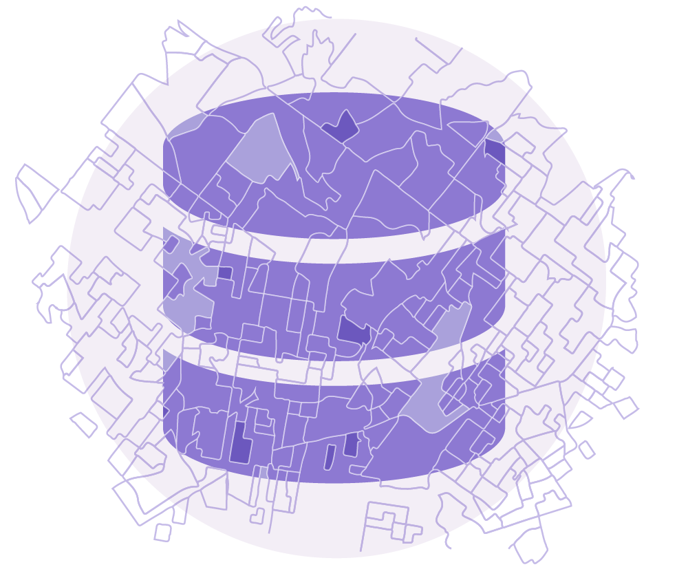
Our Data
AI-Ready Socio-Economic Data, Built for Real-World Use
License U.S. geographic, socio-economic data built for analytics, enterprise systems, and AI-powered products. PolicyMap delivers millions of accurate, current, and validated data values, standardized across geographies and designed for scale so that teams can move directly from data to insight.
Our portfolio spans millions of indicators across demographics, housing, health, education, income, employment, environment, and more. Data is structured, normalized, and quality-checked, eliminating the complexity of sourcing, cleaning, and aligning fragmented public and private data.
The result is faster implementation, lower operational risk, and more reliable outcomes—for analytics, modeling, and production workflows.
Get Started with PolicyMap Data
Request access to documentation, sample datasets, and licensing options.
From Public Data to Usable Intelligence
PolicyMap integrates and enhances data from thousands of trusted public and private sources, transforming fragmented datasets into a unified, analytics-ready portfolio. Beyond standardization, we produce thoughtfully derived indicators, including normalized historical time series, change calculations, rates, and indices, so that teams can move directly from raw data to meaningful insight.
The result is data that is consistent, current, reliable, and immediately usable for analysis, modeling, and decision-making, without the complexity, engineering burden, or quality risks typically associated with public data.
Simple Delivery. Clear Licensing.
PolicyMap makes data licensing straightforward.
Delivery options include bulk files, APIs, and cloud-based access. Licensing terms are transparent and designed for enterprise use, reducing procurement friction and legal complexity.
Our focus is on speed, reliability, and ease of integration, so teams can spend less time managing data and more time using it.
Geocoding Built for Scale and Trust
Turn any address into trusted, model-ready neighborhood intelligence. PolicyMap’s geocoding services connect precise location data to millions of normalized socio-economic indicators, so every address comes with consistent, contextual insight.
- Millions of normalized indicators across housing, demographics, health, income, education, environment, and more
- Census tract, ZIP, and custom boundary alignment for consistent geographic analysis
- No per-call pricing, enabling predictable costs at scale
- Batch-ready API designed for production workflows
- Clean, auditable, public-source-derived data for lower legal risk and stronger governance
Who We Help
PolicyMap supports teams across industries that rely on geographic and socio-economic intelligence. Use cases range from market analysis to risk assessment, site selection, population health research, and policy evaluation. Data is ready for AI-powered product development.

AI & Machine Learning

Consulting & Advisory

Banking & Financial Services

Real Estate & Development
Health & Benefits Insurance

Pharmaceutical & Life Sciences
Designed for AI and Advanced Analytics
PolicyMap data is engineered to support modern workflows, including AI model development, feature engineering, forecasting, and large-scale analytics.
Accurate, Validated Data
Quality assurance reduces noise, bias, and model instability.
Scale
Millions of data points across consistent schemas and geographies.
Time Savings
Eliminates months of ingestion, normalization, QA, and engineering work.
Lower Legal Risk
Public and derived data only. No personally identifiable information.
Geographic Standardization
Aligned across census tracts, block groups, ZIP codes, counties, CBSAs, states, and national levels.
Joinability
A single schema across indicators simplifies integration and modeling.
Derived Indicators
Rates, indices, trends, and normalized time series, built for direct analysis.
TALK TO OUR TEAM
See what’s possible. Explore PolicyMap data.
Access documentation, sample data, pricing, and technical details to see how PolicyMap fits your workflows. Fill in the form to get in touch.