
New Public School Data on PolicyMap
For those interested in education data, a great new dataset is now up on PolicyMap: point-level public school data from the National Center for Educational Statistics (part of the US Department of Education). We’ve always had public school points on PolicyMap, but this is much more detailed, with lots more data than there used to be.
(This does not replace our uber-detailed GreatSchools school performance data, which has standardized testing data for public schools; that data remains available and will be updated soon. The GreatSchools data is available to PolicyMap subscribers; this NCES data is available to all users.)
Some of the interesting new indicators include: school status (is it open?), total students, total teachers, student/teacher ratio, free/reduced-price lunch eligible students, Title I eligibility, charter/magnet school status, and enrollment by grade and by race. And a lot more.
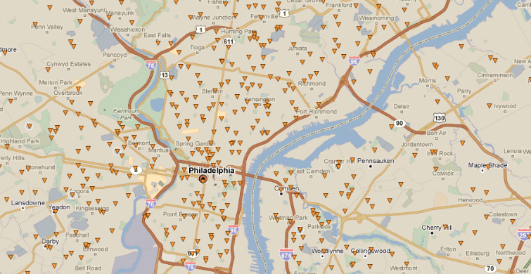
Making this data uniquely useful are 26 filters, to narrow or better illustrate the data. Let’s say you want to only look at operational high schools with more than 650 students. Just check those filters, and there’s your map. Or do a color code filter. Here’s a map showing schools by student/teacher ratio:
This data is in the Education menu, and is named “Public Schools”.