
The Most Location Data On The Web.
Curated. Cleaned. Standardized. And always updated.
Access thousands of indicators from authoritative public and proprietary sources through the web’s largest geographic data warehouse. Our dedicated team expertly curates the data to ensure it is the most current and accurate available, with the greatest geographic coverage of national data available at the local level across the US. The data comes from disparate sources, but is standardized to allow for simple analysis across indicators. We also create unique data, such as trends over time and indices that combine relevant indicators.
Our team is always on the lookout for new data sources and requests from users. As we add new content to the platform, it becomes available in your product immediately.
All The Data You Need. All In One Place.
Access all of the information you need about a place through a single platform or vendor. Our data comes from trusted sources, proprietary vendors and our own expert data team.

Demographics
Population, race and ethnicity, age, sex, languages, foreign born, migration and immigration, households, families, homelessness, elections, religion

Incomes & Spending
Incomes, poverty, tax returns, federal benefits, bankruptcies, housing burdens, consumer spending, medical spending

Housing
Home sales, rents, building permits, residential & commercial vacancy, subsidized households, public housing, LIHTC

Lending
Mortgage originations, government insured loans, refinance loans, mortgages by race, ethnicity and income, bank branches, credit unions, Historic Lending Boundaries

Quality of Life
Crime, broadband access, time to work, heating fuel types, food access, farmers markets, environmental hazards, libraries, museums, parks, disaster risk

Economy
Jobs, unemployment, wages, small business, employment, workforce characteristics, oil and gas production

Education
School enrollment, educational attainment, graduation rates, school performance, cost of college, student loan debt, school locations, college locations, head start locations

Health
Infectious diseases, opioid use, chronic conditions, access to health care, health insurance, health risk factors, federal health programs, health facility locations, food access

Federal Guidelines
NMTC eligibility & investments, Opportunity Zones, persistent poverty, CDBG eligibility, housing opportunity index, CRA eligible areas, SBA HUB Zones, Promise Zones
Data available through PolicyMap is authoritative and continuously updated.
How To Access Our Data
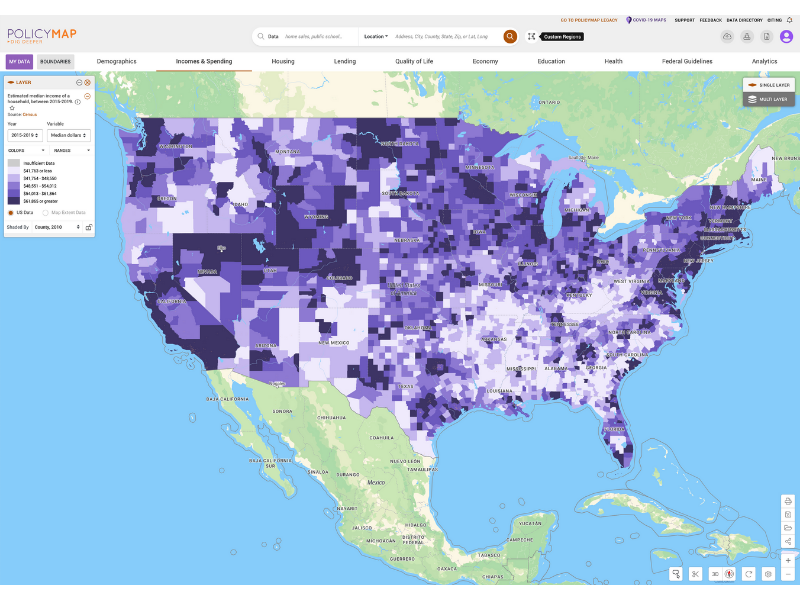
Mapping Platform
All PolicyMap subscribers have access to our data through our mapping platform. View data on maps.
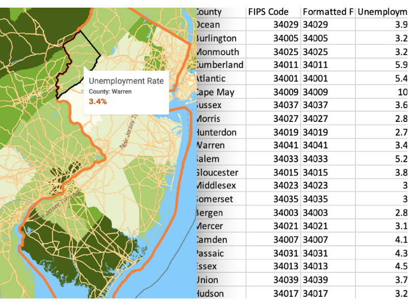
Data Download
PolicyMap allows subscribers to download consistently-formatted CSV files of most indicators.
Data License
Geographic data from the extensive PolicyMap catalog can be added seamlessly to any existing 3rd party mapping or data visualization application. Learn more.
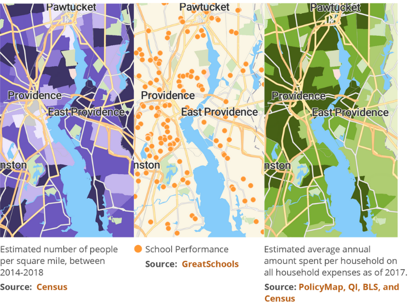
Curated Collections of Data
PolicyMap’s Curated Collections are industry-specific data, conveniently organized in one place. Simplify your workflow with relevant, ready-for-analysis data. Learn more.
Unlock The Web’s Largest Geographic Data Warehouse
Contact us for a more information about our data sources, data topics, and recently added data. Fill in the form below, and we’ll be in touch in short order.