
Which Communities Are Most At-Risk When Air Quality Diminishes?
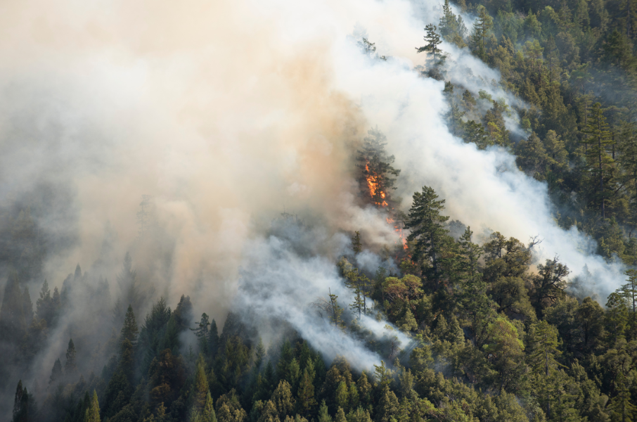
As the fires in Canada affect the quality of the air we breathe in the northeast, doctors are warning that sensitive groups, especially those with respiratory or cardiovascular conditions, are most susceptible to becoming ill and may need treatment in emergency rooms.
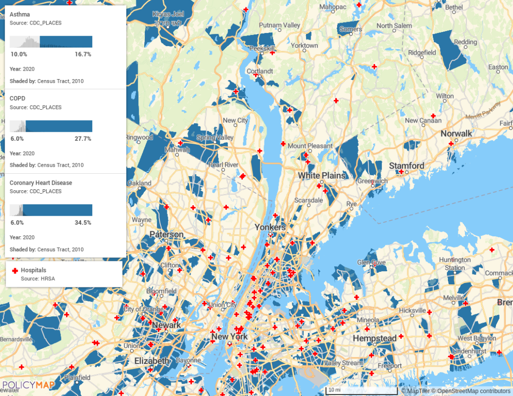
A quick look at areas where people have high rates of asthma or COPD or heart disease (as shown in teal on the map) provides insights into where concentrations of people at-risk live in the Greater New York City area. Red crosses illustrate the locations of hospitals relative to these high-risk areas.
We’ve also written recently about how data can help communities better prepare and plan for natural disasters. Learn more about how emergency management teams can access Baseline Resilience Indicators for Communities (BRIC) and the Social Vulnerability Index (SVI) through PolicyMap.
Reach out using the form below to learn more about our data on health risks, resiliency, and social vulnerability.