Special Edition Newsletter (#1)

Update (May 20, 2020): This post is part of a series providing publicly available maps, data, and insights to answer COVID-19 questions in your community. For more COVID-19 resources, go to PolicyMap Special Edition: COVID-19.


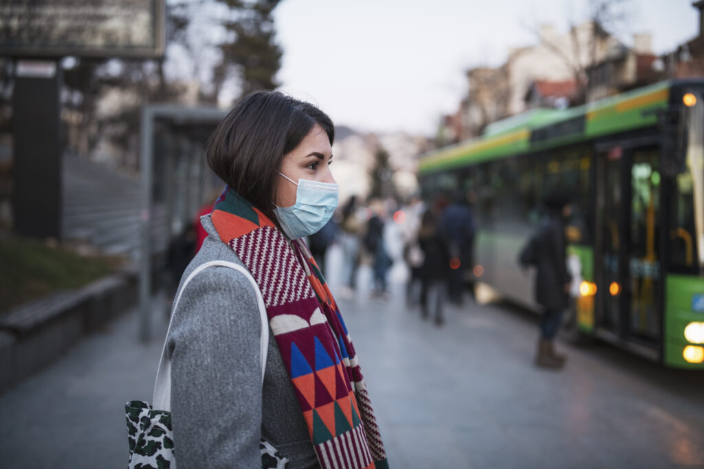
Using PolicyMap to Identify Populations Vulnerable to COVID-19

With our rapidly changing health landscape, it’s essential to take stock of where precious resources are needed most. With PolicyMap, you can use data to target interventions for our most vulnerable populations to mitigate the spread of COVID-19.

Read More

Watch Video
CUSTOMER SPOTLIGHT

Columbia University – Built Environment and Health Research Group

Relying on PolicyMap, researchers at Columbia University use PolicyMap to identify populations at risk for developing severe COVID-19 in a two-part series. Part I features PolicyMap data to detect various at-risk groups, and Part II reveals their risk analysis of vulnerable populations layered with hospital bed capacity.

Examine your community’s risk with Columbia University’s online PolicyMap tool.

In case you missed it

The New PolicyMap Launches this month! Contact us for a live demo for your institution to learn how to Dig Deeper on PolicyMap.