
2008 HMDA Data Now on PolicyMap
![]()
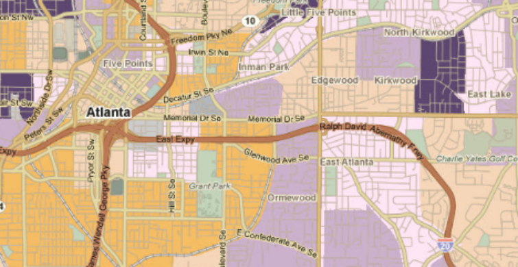
We’ve loaded mortgage data from HMDA for 2008 in PolicyMap – so you now have mortgage statistics from 2004 to through 2008 available in one place. You can see this data on maps by clicking any of the indicators in the Mortgage Originations tab in the Add Data Layer Menu. Just zoom in to see a census tract map and click once on any census tract to see its underlying value. You can change the year or variable in the legend to see the indicator for another year or, for example, find the median amount of a loan and how that has changed over time.

Note: We made one change to our terminology. Where previously we called a loan “subprime” when it had a high-interest rate, we now call them high-cost loans. Our methodology for calling out these loans is the same, but what we name them is slightly different.
You can also see this data in tables. Click on an area of the map and from the info bubble, click “see table”. You can add other geographies to the table by just typing in a state, county or tract in the Set Location bar. You can view data as bar charts or click “view trends” in the legend to see how a particular variable changed over time.
 |
 |
Remember, you can save any of your work as jpegs and pdfs.
Subscribers can also access this data in the HMDA report which summarizes, for any state, county or census tract, all of the mortgage statistics in a single report for your use. You can see what a sample report looks like here: [PolicyMap] HMDA Report of City of Gresham
We’ll post more shortly on how you can use this data in the Analytics section of PolicyMap.