
Check out all new Census 2010 data now on PolicyMap
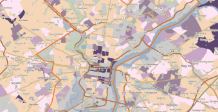

 PolicyMap now has the latest Census 2010 Redistricting Data available to all of our users. Indicators from the 2010 Census include population, race, ethnicity, and residential vacancy. And while we released the estimates from ACS a few months ago, these Census 2010 numbers are the actual counts collected by Census enumerators, as mandated by the Constitution. This data is available for the block group, census tract, city, county, Congressional District, metro area, state, and the nation in our maps and tables.
Due to the growing diversity in the U.S. population, the Census now collects (and PolicyMap provides) more detailed race categories than ever before. You’ll see new multiracial categories in our Demographics tab that will allow you to locate concentrations of biracial and multiracial populations, by race.
Coming soon to PolicyMap:
- More ACS estimates
- Farmers’ market locations
- Updated school performance data
![]()