
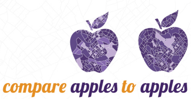
Compare Apples to Apples with PolicyMap

PolicyMap now contains census boundaries for both 2000 and 2010!
When the Census released its data for 2010, it not only gave the US new data – it gave us new geographies. Many Census block groups, tracts – and yes, even some counties – have different boundaries on the map in 2010 than they did in 2000. In the data and mapping world, this makes things complicated particularly if you want to look at how your neighborhood is changing. And there are many places where these boundaries shifted a lot, making geographic analysis pretty complicated.
When we set out to incorporate these new boundaries into the PolicyMap platform, we had three basic goals in mind:
- To make both sets of boundaries and their data available seamlessly throughout the platform. To see changes during a time period, just add an indicator layer and then toggle between time periods.
- To crosswalk the boundaries from one year to the next. Now you you can create trend charts and on-the-fly reports that take a closer look at how places changed over time.
- To make it intuitive. Our core users can continue to do their work without getting bogged down in the weeds of this improvement. At the same time, it is also easy for our sophisticated users – who know the exact year, boundary type and FIPS code, that they are looking for – to find what they need.
If you’re thinking that PolicyMap looks just like it did before, well you’re almost right. This was some serious under-the-hood work, and we managed to incorporate this power into the existing interface without adding any new buttons, features or add-ons.
Want to learn more? Check out our blog or try us out for free with a 7-day trial
Contact us with any questions or to set up a demonstration: 1-866-923-MAPS (6277) or by email.