
Do you live in a County?
For most of you the answer to the question What county do you live in? is an easy one. Across the nation, we generally use the county as our primary administrative boundary. However, there are exceptions to this rule and the Census has to deal with these ‘non-county’ areas somehow.
The Census’ solution is “county equivalents.” These are areas that are not technically counties, but since they are the primary administrative boundary for an area the Census treats them like a county anyway.
So where are the county equivalents?
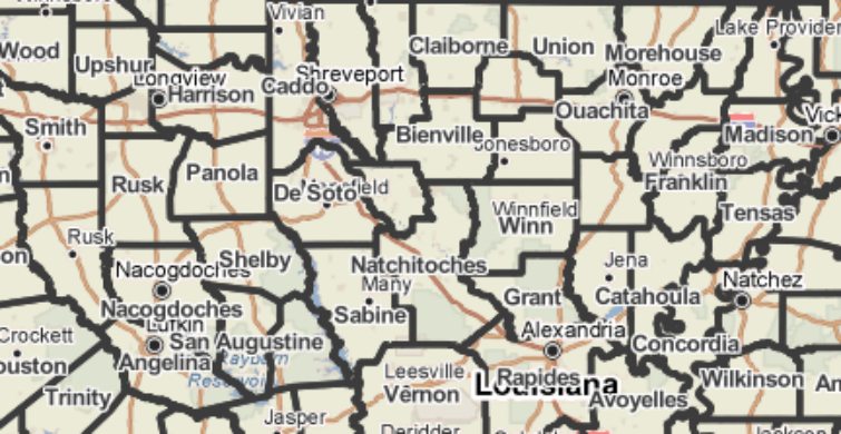
1. Louisiana divides itself into parishes rather than counties
2. Puerto Rico relies on municipios in lieu of counties
3. The District of Columbia is considered a county for statistical purposes
4. In several states there are incorporated cities that operate outside of county administrative boundaries. These cities are considered “county equivalents” by the Census and data are reported separately.
- Maryland has Baltimore (the city, not the county);
- Missouri has St. Louis;
- Nevada has Carson City;
- And Virginia has 41 cities that are governed independently from counties!
5. Alaska doesn’t have any administrative county equivalent. So the Census Bureau and the state subdivided the sate into census areas for statistical purposes only.
You can find county level data for all of these equivalents on PolicyMap. Log on now.
Meanwhile, PolicyMap is hard at work updating all our geographies to the 2010 Census vintage. Keep an eye out for more interesting Census geography tidbits in the weeks to come as we do so. And stay tuned for our 2010 boundary update. It’s coming soon!