
Looking for the Local Boundaries?
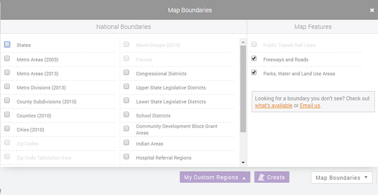
You might have noticed that our Map Boundaries menu has been cleaned up a bit. We have removed the Local Boundaries menu. As the name implies, these boundaries are mainly localize boundaries and can only be seen if you are in the city or state that they represent which was why we have removed them for all users.

We have only removed them from display so don’t worry, they are still there and can be added to your account easily. Below is the list of available Local Boundaries (in alphabetical order) that can be added to your account;
Updated on 07/11/2017
- Camden Parcels
- Chicago Community Areas (2017)
- Chicago Wards (2015)
- Chicago Neighborhoods (2016)
- Chicago Police Districts (2016)
- Hope Areas
- New Orleans Parcels
- New York City Community Districts
- Pennsylvania Municipalities
- Philadelphia Council Districts
- Philadelphia Planning Districts
- Philadelphia Police Districts
- Philadelphia Political Divisions
- Philadelphia Political Wards
- Philadelphia School Catchment – Elementary
- Philadelphia School Catchment – High School
- Philadelphia School Catchment – Middle
- Phoenix Council Districts
- Prince George’s County Council Districts
Send us a quick email at Local Boundaries or head to our Contact Us page. Please include your email address (or email addresses for other users) and which boundaries you would like to add.
Do you have local boundaries that you would like to see on PolicyMap? Send us your suggestion with the source of where the boundaries, and we will look into possibly adding them.