
Map NSP Target Areas On PolicyMap
Note: If you’re looking for NSP data, we removed from PolicyMap in February 2017. If you miss it, please send us a note: info@policymap.com.
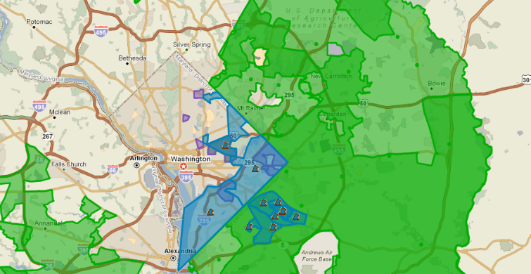
The Neighborhood Stabilization Program (NSP) is a federal program that provides assistance to state and local governments to acquire and redevelop foreclosed and abandoned properties that might otherwise become sources of blight to their communities. As a part of the program, grantees picked target areas in which to focus their efforts. The criteria for identifying target areas were very specific and many grantees turned to PolicyMap for the data to complete their applications. NSP-approved target areas for communities throughout the country are now available on PolicyMap.
This update may be of particular interest to those who work with the Community Reinvestment Act (CRA). Amendments to CRA regulations now allow favorable CRA consideration for activities supporting stabilization efforts in communities with high foreclosure levels. For more information about the CRA and the 2014 updated CRA eligibility data on PolicyMap click here. And if you would like to learn more about the new CRA guidelines with respect to NSP check out the Federal Reserve webinar here.
To date there have been three rounds of NSP funding, referred to as NSP1, NSP2 and NSP3. Now all the local NSP target areas from each allocation can be displayed on PolicyMap. The data are available under Federal Guidelines > U.S. Department of Housing and Urban Development. Find out where NSP foreclosure programs are focused in your area.