
MPIP and PolicyMap: A Great Way to Partner!
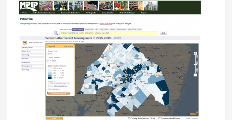
Metropolitan Philadelphia Indicators Project (MPIP) today released new interactive maps powered by PolicyMap. Available data on the MPIP maps include mortgage lending, land area, demographics, educational attainment, housing characteristics and employment for each community that comprises the Delaware Valley Region – a nine county region in Pennsylvania and New Jersey centered on Philadelphia. Data is available for any of MPIP’s public visitors for exploration in interactive maps and can be easily downloaded.
MPIP is an effort of Temple University in Philadelphia and began as one of the nation’s first community indicators project in 2003. MPIP’s goal is to develop a systematic way to collect and analyze the conditions facing the townships, cities, and boroughs of the Greater Philadelphia area by tracking and making publicly available the demographic, economic, housing, health, and environmental conditions facing these communities.
MPIP was one of the early members of the National Neighborhood Indicators Partnership – an effort of the Urban Institute that now includes local partners in 34 cities. The NNIP effort has created a national voice supporting the capacity building efforts of projects across the country just like MPIP.

PolicyMap’s ability to easily provide interactive maps on other websites is enabling MPIP to continue to meet its mission and provide key datasets to the public efficiently. The added access to contemporary data creates a set of community indicators that link borough, township and county data from 1999 through the present. By leveraging the PolicyMap platform for its visual display of mapped data, MPIP has been able to reduce the costs associated with creating and maintaining a mapping application of its own. PolicyMap is thrilled to be able to provide this service and work with MPIP on the distribution of relevant and authoritative data to the public in easy-to-use, interactive maps and downloadable csv files. This is a great way for PolicyMap to partner with and help support a local community indicators project.
Over the years, MPIP has compiled a series of additional resources including a regional survey of the households of the region, and published the results of these surveys. For both the surveys, copies of specialized reports, MPIP summary reports for the region, and hard copies of the maps that were developed for these reports, material can be found at MPIP’s website, mpip.temple.edu.
For additional information, please contact Dave Bartelt at dbartelt@temple.edu.