
New Metro Areas (Or: What Happened to Poughkeepsie?)
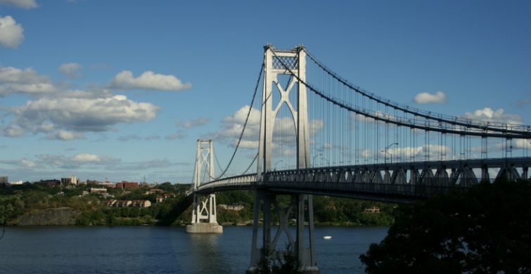

I went to college in Poughkeepsie, New York, “The Queen City of the Hudson”, about halfway between New York City and Albany. It’s a classic post-industrial city, not quite sure of its current identity. Is it a city? A suburb? A “bedroom community”? If you look up “Upstate New York” on Wikipedia, it’ll tell you the dividing line is Poughkeepsie. The Metro-North commuter railroad ends in Poughkeepsie, an hour and a half ride to Grand Central Terminal.
From 2003 to 2012, Poughkeepsie was the proud principal city of the Poughkeepsie-Newburgh-Middletown, NY Metropolitan Statistical Area. This MSA was comprised of rural Dutchess and Orange counties, which felt distinctly different from the suburban and urban counties of New York City’s MSA to the south.

Well, as of 2013, the Poughkeepsie MSA is no longer. The Office of Management and Budget redrew the map of CBSAs, and Dutchess and Orange counties have been swallowed up by the massive New York CBSA.
(Acronym reminder: A CBSA is a Core Based Statistical Area. CBSAs consist of MSAs – Metropolitan Statistical Areas – and μSAs – Micropolitan Statistical Areas. That’s a Greek mu in μSA, for those of you who aren’t classicists. Throughout PolicyMap, they’re all labeled as “Metro Areas”.)
The OMB redefines CBSAs every ten years based on changes in population and commuting patterns. A lot are unchanged (such as our stalwart Philadelphia CBSA). Some gained new counties and some lost counties. Some are new, and some (poor Poughkeepsie!) have disappeared.
Until last month, all the CBSA data on PolicyMap was calculated according to the 2003 boundaries. This makes sense, since the data represents time periods before 2013, when these new boundaries were introduced.

All that changed when the BLS released an update to its local unemployment data. They updated all their data, going back to 1976 (before CBSAs even existed) to be calculated at the new boundaries. And in the coming days, we’ll be updating ACS to the new 2009-2013 data, which, as you guessed, is calculated at the 2013 CBSA boundaries.
A lot of people still have reason to use the old 2003 CBSAs. There’s still a lot of data mapped to them. Some people might want to identify an area (like the Mid-Hudson Valley) that only exists in them. And some people just have an irrational emotional attachment to an old CBSA (Poughkeepsie pride!).
So both the old and new are available in the location search bar on PolicyMap. You’ll see each CBSA followed by parentheses, saying whether it’s a 2003 CBSA, a 2013 CBSA, or both, meaning it wasn’t changed.
Also, worth mentioning: Metropolitan Divisions, which are subsets of some CBSAs, are also updated. You can access those at the bottom of the Metro Area menu in the location bar.
If you do visit Poughkeepsie, make sure to visit the recently opened Walkway Over the Hudson, a pedestrian path on an enormous 19th-century steel truss bridge once used to transport coal from Pennsylvania to New England. The views are amazing, but more importantly, it lets you escape the clutches of the New York MSA, crossing over to the still-independent Kingston, NY MSA.