New U.S. House Boundaries: Coming Soon

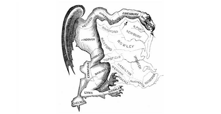
 We’ve been getting a number of requests recently for the new Congressional district boundaries, which will take effect for the 113th United States Congress, convening this January. For those who don’t know, every ten years, in response to the decennial Census, the Congressional boundaries are redrawn throughout the country. Some states gain additional districts, some lose districts, and some simply redraw the districts they already have.
All states have completed the process of drawing their new districts for last month’s election. However, our political boundaries on PolicyMap need to come from official Census files so that we’re sure we have the most accurate data available. And the Census has not yet released these files. They will begin releasing them on a state-by-state basis starting in January, but will not have all the states until March. So that will be when these new boundaries will go on PolicyMap.
Other data from this recent election will go up sooner. The presidential and senate election results will go up on PolicyMap as soon as they’re finalized by the states, early next year.