
Power Plants on PolicyMap
Data
Electricity Generating Plants
Source
Energy Information Administration (EIA)
Find on PolicyMap
- Economy
- Infrastructure
- Electricity Generating Plants
Ever wonder where your electricity comes from? Whether it’s from clean sources like wind or solar, less-clean sources like coal and gas, or heavily-debatedly clean sources like nuclear or hydroelectric, the electricity powering the very computer you’re reading this on has to come from somewhere.
PolicyMap now has electricity generating plants, a point dataset from the Energy Information Administration (EIA) showing you exactly where electricity is made. Often, the electricity powering your home comes from a mix of local generating stations, so seeing what plants are nearby, and how big they are, is a good way of seeing what’s powering your home.
The data shows, for each plant, what the method of generation is (coal, gas, nuclear, solar, etc.) and the maximum output, in megawatts. This gives the dataset a number of varied uses.
Find Plants Near You
Often, power plants are among the most visible pieces of public infrastructure. In New York, the enormous red and white smokestacks along the East River might be the most prominent landmark no one knows the name of.

It’s the Ravenswood Generating Station in Queens, a natural gas-fired plant that can produce over 2.2 gigawatts at a given time. To put that in perspective, New York’s nearby nuclear plant, Indian Point, has a capacity just under 2.1 GW.
Find Nuclear Plants
Nuclear plants tend to be a lightning rod of controversy, with some arguing for their massive production of carbon emissions-free electricity, and other arguing against their safety risk and cost. Though incidents at nuclear plants are rare, they can have widespread consequences, leading people to want to know where plants are located.
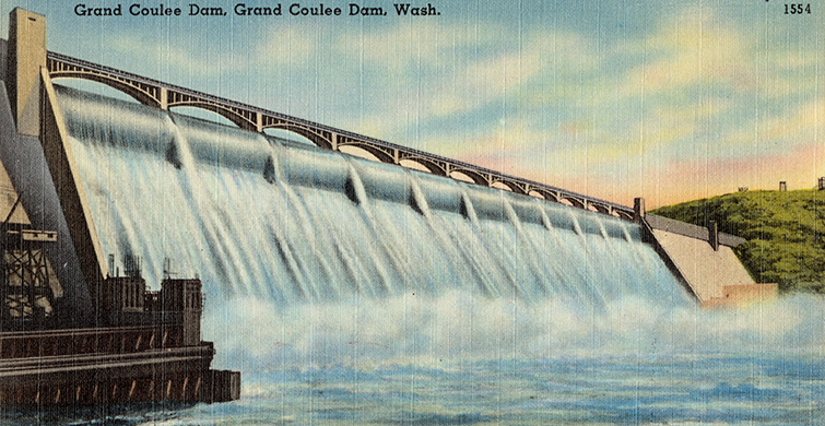
Find Dams
Hydroelectric dams can prompt almost as much controversy as nuclear plants, for similar reasons. The power is abundant and carbon free. On the other hand, it disrupts local ecosystems, and as we saw recently at Oroville, not immune from potential disaster. Dams also serve non-electrical purposes, creating reservoirs to store or divert water, and creating recreational opportunities.
Find Green Energy Sources
Filtering by solar shows some interesting patterns. You might expect that the areas with the most solar generating plants would be along the sunbelt, but strikingly, state lines appear to be the biggest determinant of where solar power is located. States like North Carolina, New Jersey, Massachusetts, and California dominate the map:
Aggregated Generation
In addition to the point dataset, you can find the total electricity generation capacity by state and county. You can specifically find capacity generated by renewable and non-renewable sources. This doesn’t really show how much electricity is being consumed in these areas, but it does show where generation is happening.
This data is free to the public and is accessible in the Economy menu.