
PolicyMap’s newest blog series – Tips on ZIPs!
Tips on ZIPs – Part I: The Unmappable ZIP Code

We’d like to fill you in on some of the great mysteries of US ZIP codes. Why is PolicyMap blogging about the mail, you ask? While our data is not generally provided by ZIP code, we get a lot of requests for it. After all, most people are more familiar with their ZIP code than their census tract or block group. But the reason data is not typically available by ZIP code is because they’re not actual geographic features. As a map user, this might shock you, but there is NO OFFICIAL MAP of ZIP code boundaries! Yikes, we know.
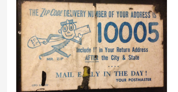
Upcoming in this blog series, we’ll look back at the ZIP code’s modern history (it will mark its 40th birthday this July!), learn about how ZIP codes are created, what happens when they are consolidated or discontinued, explain why they are so difficult to map, and review some of the problems and solutions for using them as geographic units in statistical data analysis. We’ll also talk about some political controversies surrounding ZIP code changes, and look at the effects of recent post office closing across the country. There’s even a cartoon mascot (no joke, that’s Mr. ZIP in the flyer above). You just might even be inspired to send some snail mail. So, stay tuned!
For now, watch this excellent mid-1960’s Postal Service musical video about ZIP codes: